
Tangail District
Known as the Gateway to Northern Bangladesh, Tangail is located in the central region of Bangladesh, along the banks of the Jamuna River. It is the largest district in the Dhaka Division.
- Area
- 3,413.68 sq km
- Population
- 4,037,608 (2011)
- Upazilas
- 12 (on this site)
- Unions
- 2 (on this site)
- Villages
- 15 (on this site)
About Tangail district
Known as the Gateway to Northern Bangladesh, Tangail is located in the central region of Bangladesh, along the banks of the Jamuna River. It is the largest district in the Dhaka Division. Covered with lush greenery and dense forests, Tangail is bordered by Mymensingh and Gazipur districts to the east, Sirajganj District to the west, Jamalpur District to the north, and Dhaka and Manikganj districts to the south.
In the map published by James Rennell in 1778, the entire region was identified as Atia. The name Tangail became widely recognized when the Sub-Divisional Headquarters was transferred from Atia to Tangail on 15 November 1870. According to historian Khandaker Abdur Rahim, during British rule, local people used the word Tan instead of Uchhu (meaning high or elevated). The term Tan-Ail eventually evolved into the name Tangail.
Until 1969, Tangail was a subdivision of the undivided Mymensingh District. In 1969, it was upgraded to a separate district. At present, Tangail consists of 12 upazilas and 14 police stations. The district covers an area of 3,413.68 square kilometres and has a population of 4,005,083.
Tangail is one of the major contributors to Bangladesh’s handloom industry, one of the country’s largest cottage and traditional craft industries. It is also blessed with remarkable natural beauty and lush green landscapes. The district has a total forest area of 509.8 square kilometres. Several rivers flow through the region, including the Dhaleshwari, Jamuna, Lohajang, Bairan, Jhinai, Bangshi, and Turag.
Another distinctive feature of Tangail is its famous sweet delicacy, Porabari Chamcham, which originates from the Porabari area and is renowned for its unique taste and traditional preparation.
Tangail is also rich in folk culture and traditional festivals. Notable celebrations include Nabanna, Poush Sankranti, Baruni, Ashtami, and traditional boat races. The district has a vibrant musical heritage, with folk traditions such as Dhuya, Jari, Sari, Rakhalia, Baromashi, Pala Gaan, Palli Geeti, Bhatiyali, Bhawaiya, Murshidi, Marfati, wedding songs, Ghatu Gaan, and Baul songs remaining popular among local communities.
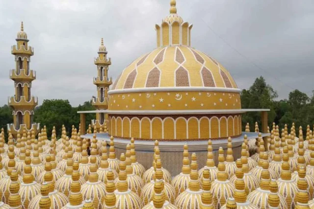
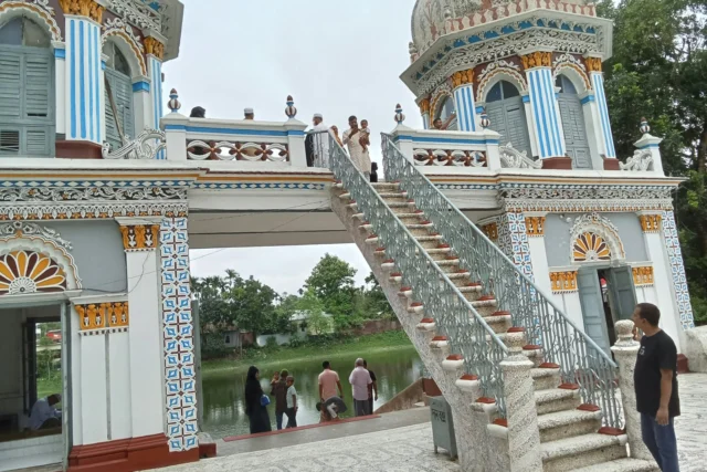
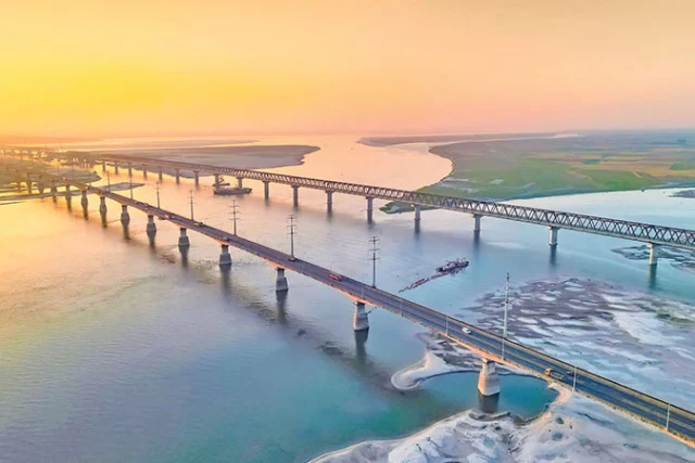
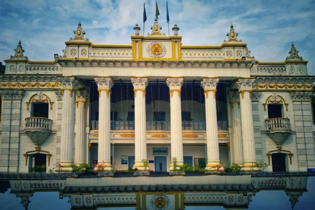
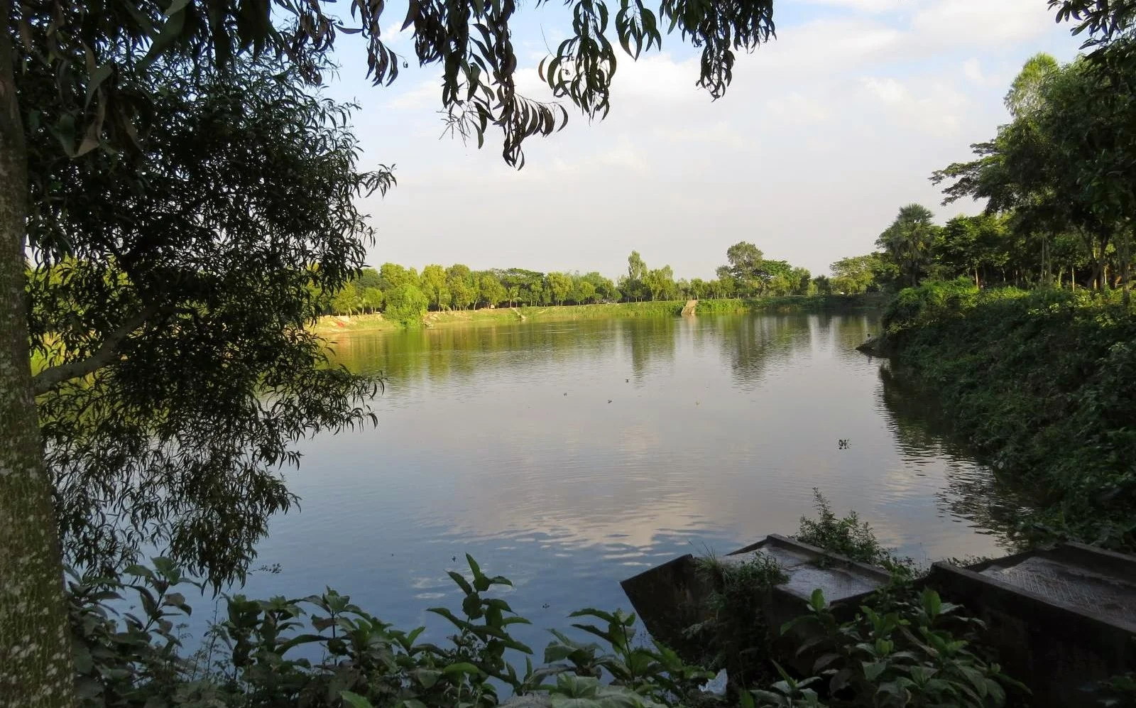
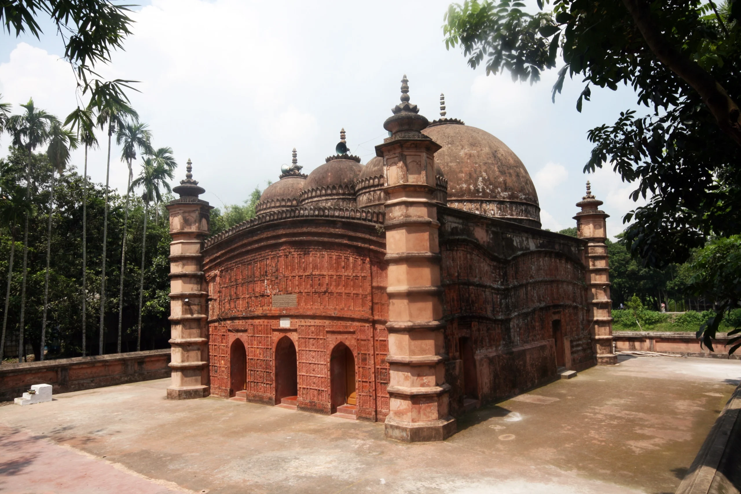
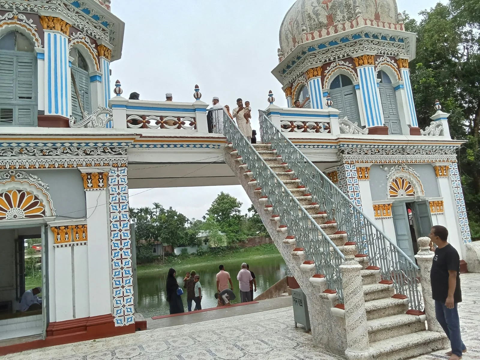
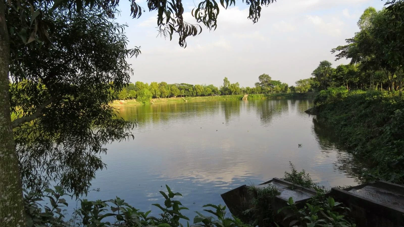
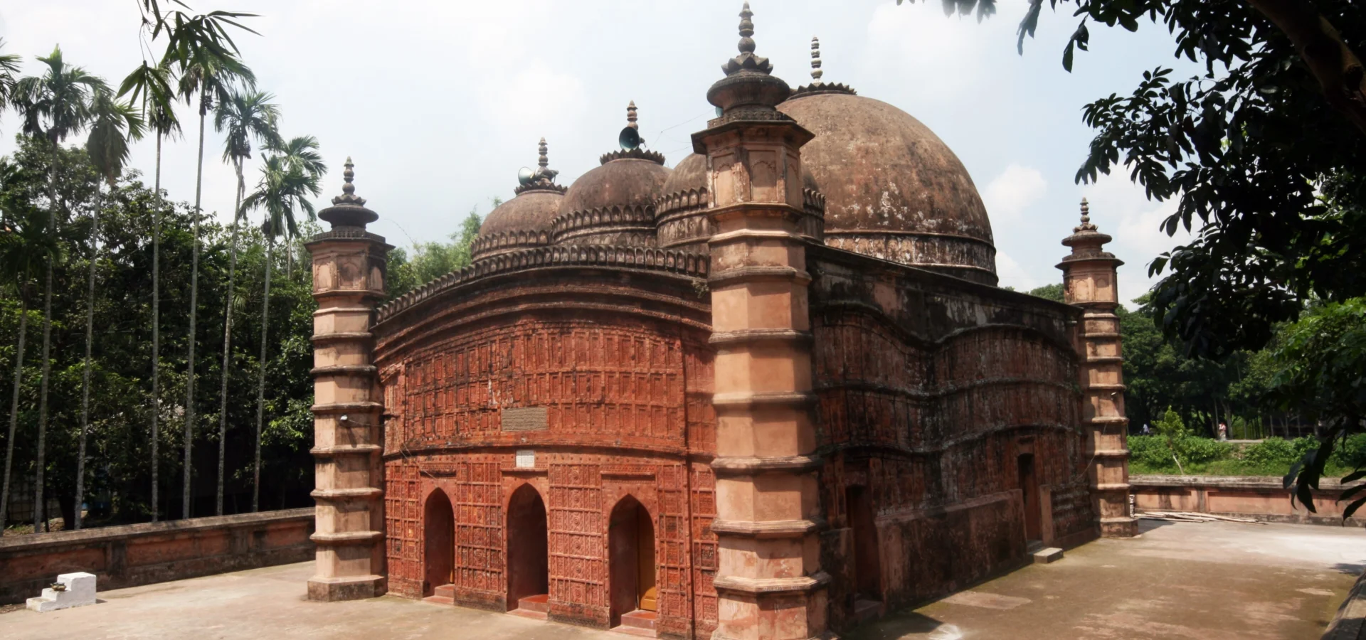
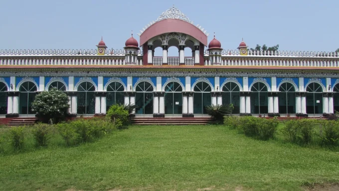
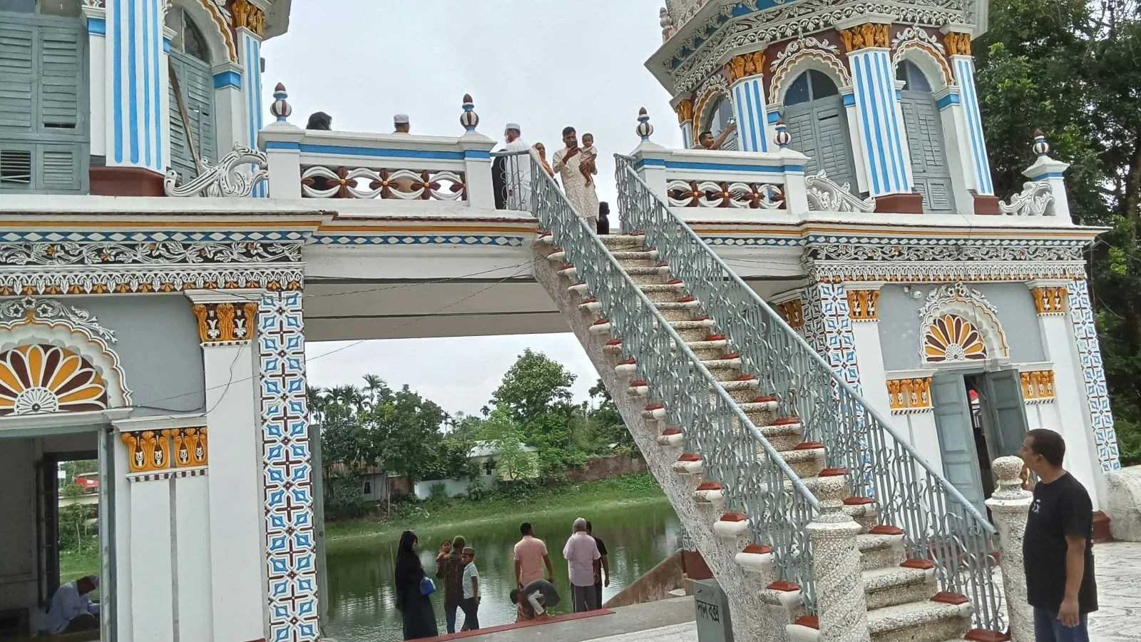
With its immense potential for tourism, Tangail is home to numerous historical, cultural, and natural attractions. Some of its notable destinations include Mohera Zamindar Bari, DC Lake, Atia Jame Mosque, Jamuna Bridge, Sagardighi, Guptabrindaban, 201 Dome Mosque, Hemnagar Zamindar Bari, Upendra Sarobar, Bharateswari Homes, Karatia Zamindar Bari, Raspulpur National Park, Dokhla Rest House, and Pirgachha Rubber Garden.
These remarkable landmarks, combined with the district’s rich history, traditional handloom industry, famous cuisine, folk culture, rivers, and natural landscapes, make Tangail a distinctive destination and an important part of Bangladesh’s cultural heritage.
Map of Tangail district
Map source
Outlines as of 2020: Bangladesh Bureau of Statistics (BBS), OCHA; geoBoundaries, CC BY 3.0 IGO, simplified. They show where places lie; they are not surveyed boundaries, and later changes are not in them.
Tangail at a glance
- Area
- 3,413.68 sq km
- Population
- 4,037,608 (2011)
- Upazilas
- 12 (on this site)
- Unions
- 2 (on this site)
- Villages
- 15 (on this site)
A history of Tangail
-
Ancient Mediveal
An examination of history and heritage reveals that, some five to five-and-a-half thousand years ago, the Tangail district was part of 'Bhatir Muluk'—a region belonging to the Kingdom of Kamarupa, or Pragjyotishpura.
-
Mughal
Between 1301 and 1322 AD, Sultan Shamsuddin Firuz Shah Dehlavi, the ruler of Gaur, initiated Muslim rule in this region.
-
British
In 1866, the government established the Tanail (later renamed Tangail) police station in the Pardighulia *mauza*. As the Muslim Zamindar of Karatia was consistently hostile towards the British, no site for a new police station or outpost was designated within the Atia *pargana*.
-
Bangladesh
The residents of Tangail demanded that Tangail be declared a separate district, and the United Front incorporated this into its election manifesto.