
Upazila
Dhanbari
- Area
- 130.5 sq km
- Population
- 183,283 (2011)
- Municipalities
- 1
About Dhanbari
Dhanbari Upazila is an administrative sub-district in the Tangail District of the Dhaka Division, Bangladesh. It was formed in 2006 by splitting from the former Madhupur Upazila.
Geography & Administration
- Location: Situated about 63 km northeast of Tangail city and 143 km northwest of Dhaka.
- Area: Covers 133.75 km².
- Administrative Units: Consists of Dhanbari Municipality (9 wards and 25 mahallas) and 7 union parishads (including Paiska, Baniajan, and Mushuddi).
Demographics
- Population: 189,129 people (according to the 2022 Census) with a population density of 1,414/km².
- Literacy Rate: 67.82%.
- Religion: Predominantly Muslim (97.37%), with a Hindu population of 2.62%.
Economy & Education
- Education: Features 7 colleges—including Dhanbari College and Asiya Hasan Ali Mohila Degree College—along with historic institutions like the Govt. Dhanbari Nawab Institution (established in 1910).
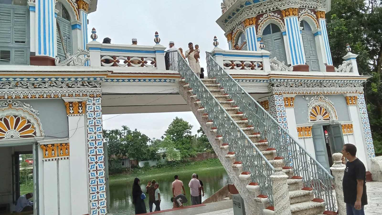
- Key Landmarks: Home to the historic Dhanbari Zamindar Bari (Nawab Palace/Manzil) and a centuries-old Mughal-era mosque housing the mausoleum of Nawab Syed Nawab Ali Chowdhury.
Explore the unions
- Balibhadra
- Baniajan
- Birtara
- Dhanbari
- Dhanbari Paurashava
- Dhopakhali
- Musuddi
- Paiska
Map source
Outlines as of 2020: Bangladesh Bureau of Statistics (BBS), OCHA; geoBoundaries, CC BY 3.0 IGO, simplified. They show where places lie; they are not surveyed boundaries, and later changes are not in them.
Sources
- Tangail District Website. বাংলাদেশ জাতীয় তথ্য বাতায়ন, tangail.gov.bd Webiste, 2026. Government tangail.gov.bd (read on October 9, 2026)
- Wikipedia Other